Blackberry cobbler,
the Little Colorado
A delectable dessert was not exactly the highlight of our time in the White Mountains, but it was the one and only treat we had during our five days away. We had headed over in the direction of Greer and the Little Colorado River to peruse some more country when we spotted one of several open eateries, one in particular that offered various cobblers. Too much to resist, we ordered two blackberry cobblers to go and enjoyed them to the hilt before lunch.
I thought Greer was a much more attractive town than Alpine. They seem very different: Alpine is more out in the open situated in a bowl ringed by peaks, and Greer follows along the Little Colorado River early in its flow. Because both are in heavily forested areas, I'm unsure how many domiciles are out in the perimeters, but I got the impression that Greer has more choices of lodging and dining, and is generally more upscale. I would try there for our next visit; of course the river there is a big attraction for me.


Along the way, we encountered a flock of wild turkeys, barely managing a photo as they scurried into the undergrowth.

A circuitous route took us past Mexican Hay Lake and up onto a promontory where we were treated to the sight of a rainstorm marching across the valley.


Our driving tours gave us a wonderful overview of the incredible variety of landscapes throughout the range. I was captivated by the serenity of the scene below when we crossed the Little Colorado on a bridge. I risked life and limb to go back for photos - quite an exaggeration since no other vehicles came along but it felt vulnerable out there on that narrow span.
The view on one side was of a wide slow water meander through lush grasslands . . .

. . . and the other side showed swift current through a rocky bluff.

I expected to see more wildlife: the only elk we spotted was a large herd lolling around in a pasture in town, but we did have an unusual rattlesnake encounter. I regret that I did not have the long lens on my camera, which meant I had to approach closer than otherwise for photos, and that spooked him (me too).
He did something I've never seen a snake do: as he slithered away from
me, he kept his head and front quarters (do snakes have quarters - front
or otherwise?) turned toward me the whole time. Interesting in that he couldn't see where he was going, only where that human was hovering behind.


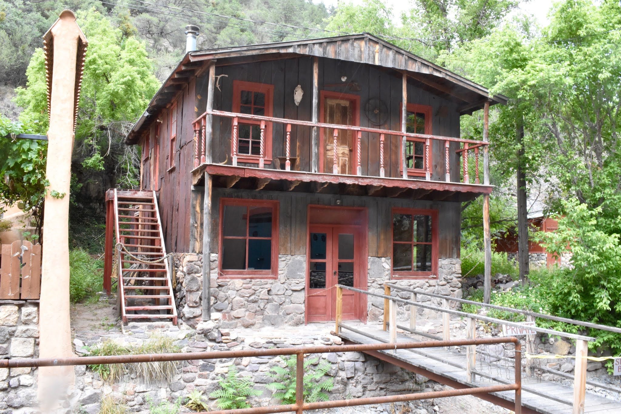
We lunched near a log cabin that we ran across in a wide meadowland with no other signs of human habitation nearby.

It even had a loft which of course I had to check out. The steps were not any too sturdy, but with some creaking involved (pretty sure that was the stairs creaking and not me), I discovered absolutely nothing up there except rodent droppings.


The Blue
With extended treks and fishing expeditions deferred for now due to Chris' less-than-stellar back condition, we found yet another back country drive that promised to be interesting, and it fully lived up to our expectations.
As we wound our way down the Blue River's canyon, we feasted our eyes on scenes of jumbled vegetation below massive crumbling cliffs. The river, such as it was, became little more than a trickle at times and occasionally disappeared below the gravelly surface, only to reappear a bit more downstream. Early on, we were informed via signage that the area is a Mexican wolf reintroduction area, so naturally, we hoped to glimpse those creatures; however, they were nowhere in sight. Truthfully, the vegetation was so thick in those mostly narrow confines that there could have been thousands of them just out of sight. We saw that same notice in other places in the White Mountains.


We had read that trout fishing is good in the Blue, but we didn't see any pools that seemed sufficient to harbor fish of any size. The region is within the Apache-Sitgreaves Forests, but there is lots of private property also.


The place we pulled out for a lunch stop just happened to be an archaelogical site; I spotted broken potsherds on the ground before I even got out of the truck. The señor estimated the pueblo to have consisted of 20 to 25 rooms, and two stories - a very sizable ruin indeed.

When we walked down the track that led past there, we came upon historic-era ruins: a house foundation, corrals and gnarly fruit trees around the perimeter of a now-overgrown, but once-cleared field. I found one apple on a tree, undoubtedly still hanging there because it was too high to reach, even for a deer on its hind legs.


As we proceeded downcanyon for nearly 30 miles, we only encountered two other vehicles. Intermittent rain kept us from doing a lot of exploring, although the opportunities for that are limited by the narrowness of the chasm. Whereever the space opens up, there are ranch houses, even a post office of sorts in a home. The settlement scattered along the canyon bottom is known as Blue, and even boasts its own zip code and a school.
When rain commenced to be very heavy simultaneous with warnings that we were approaching an even-steeper, more narrow roadway, we opted to turn back and take another route out. The countryside on that route was more open and drier, but no less spectacular.


The Blue River canyon is well worth a return visit, which we hope to do.
The Little Colorado, Apache scout. . .
On the earlier jaunt along the Little Colorado River and its south fork or some fork or another, we had seen an unusual sign: "Apache scout grave". Some research turned up to whom it referred but not much else. We thought we'd bop on in there again to see where the grave actually was. Although we had GPS coordinates, the very vague site description was no help, nor were the coordinates because we had no cell phone reception in the steep-sided canyon. One of us who was not Chris scrambled up the rocky mountainside, but could find no sign of a grave.
It seems that the Apache scout was Ivan Thomas and that he died in the 1890s. I still have not found out anything else about his life or his demise.

The search took us on a walkabout along the waterway, whichever fork it may be - a lovely creek with limited access because of overgrown banks.


Sad to leave Arizona's stunning White Mountains, we departed with plenty of ideas for exploration and activities there, and always happy to be headed home.
Best of all, along the way, we stopped at the Mogollon Rim home of our dear kin/friends, Patty & Johnny for a short visit and to drop off genealogy research. We are always happy to have time with them, and wish it could be more often.