The Grand & a few of its tributaries
Which way to turn and what to do? The possibilities are legion, leaving us with the difficulty of making a decision to fill our few away days on the Arizona Strip. I was thinking more canyon bottom hiking/scrambling and fishing, but the señor was hopeful to visit the Grand Canyon’s north rim after not having been there for a very long time. It is his vacay, too, so we devoted a day and more to the North Rim and exploring Marble Canyon overlooks.
Actually, we set out one day fully intending to go up top of the Paria Plateau, an area we have never explored, but somehow detoured in the opposite direction southward in the House Rock Valley, a long long dirt road that wound around . . . but first, I will share some of our North Rim adventures.
It is quite a steep winding climb from the valley up the Kaibab Plateau, an elevation gain of nearly 3,000 feet. Sadly, we saw the devastating result of fire that had consumed much of that high forest.

In the vein of “Will we never learn”, we chanced into a beginning forest fire. We had thought to try an obscure back road to regain the lower country at day’s end; however, that was not be be. We had watched a small plane circling and diving, thinking out loud that it must have been a tour aircraft. Then just as we spied out what we thought was the turnoff to our track out, I was startled to see smoke rising up through the ponderosas and the airplane continuing to circle low over the site.

As we pulled in there, a Forest Service vehicle emerged from the trees spattered with red spots of fire retardant slurry. During a brief conversation with the driver, we learned that there was indeed a forest fire in progress. Although we may have been able to get past it, it was deemed inadvisable in the extreme. There was the added factor that we didn’t really know anything about our intended route; if we had to turn back, we might have gotten trapped.

The official seemed agitated, but did say he thought they had a handle on the fire. Indeed, we didn’t see smoke the next day up that way, so thankfully, it did not consume much of the forest. One does wonder what campers do not understand about fire bans when they continue to take chances that end up destroying our beautiful land, homes, wildlife and historical sites.
Of course I photographed everything in sight, and was discouraged at the results; however, I think I learned a lot in the process. Chris equates the issue to my personality in that I tend to have very eclectic interests, wanting to see it all and do it all. He says my photography sometimes reflects that in trying to get too much into one shot, and I think he is likely correct in that.
The dilemma is this: it is the Grand Canyon, after all, so how could I possibly screw it up. On the other hand, it is the Grand Canyon, after all, so how could I possibly convey its grandeur with a photograph.
So here’s a smattering from the North Rim. The early on shots were in pretty smoky hazy conditions that cleared up along the way.


Seems that most folks understandably head for the spots where they can view the grandeur of the Grand's depth and breadth, but we were delighted to also find a nice forest hike to a historic site - a structure built near an ephemeral pond called rather grandly Greenland Lake. Not very surprisingly, there was no standing water in the shallow depression.
A bit farther on was a small steep-roofed log structure built - we were informed by signage - in the 1880s to store salt for the cattle that were pastured there. 
We noticed plenty of lightning strike evidence around there, but one particular ponderosa really got our attention; despite the huge blasted and burned out section at its base, it seemed to be thriving.

Just as grand . . .
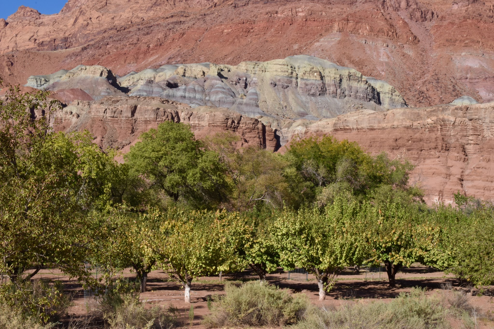
Meanwhile, back down to lower country, our drive out to the so-called wildlife viewing area of southern House Rock Valley transported us along ten miles of dirt road to Kane, the first and only feature of humanity out there in about a billion acres. The map had indicated that place, which we took to be a settlement, as the terminus of the track we had intended to take down from the Kaibab Plateau. The reality is that Kane is a remote ranch, which puts me in mind of one of Chris’ funny stories, which I will relate here.
In his young Prescott College days, he decided to backpack from Drake to Jerome. He studied the map, of course, before setting off, and from that, had thought he would stop in at Perkinsville for a hamburger as a treat in the middle of his trek. Was he ever surprised to find neither a town nor a burger joint, but a private ranch.
From the Kane Ranch, we traversed more dusty miles along the Buffalo Ranch Road, seeing nary a large wooley beast, but we did spot two cayuses. What have they done with the buffalo?
We were more than rewarded, though, with fine hikes out to rim views of Marble Canyon and some of its tributaries. It is a little disorienting for me to stride out across pretty, but unremarkable countryside - red- and sand-colored soil with low rocky ledges and scrubby piñon/juniper vegetation - to abruptly arrive at the edge of massive sculpted canyons with thousand-foot precipitous drops. It makes me a bit dizzy to stand at that rim while awed by the gigantic beauty of it all.
We marveled at various vantage points where side canyons joined the main chasm of Marble Canyon. South Canyon was one of those, but is unique in that it has a trail that leads down into Marble Canyon. Chris had read about that route, an extremely rough and difficult hike, and not one for the likes of me. We followed the trail for a short distance until the precipices became too much for me. I wouldn’t say I necessarily have a great fear of heights but I do prefer a larger patch of terra firma right around me; if I fall, I’d like it to be onto the ground where I’m standing, not onto a patch of earth far below.


The lovely cloud streamers captured in the photo below may have been quite benign; however, they were the precursors to the most horrendous wind I have ever encountered. It began in the night with horizontally blown gusts of grit that we thought would surely take the paint off the car.

By morning light, though, all was in order except that the temperature had plummeted to a very unpleasant level. We had sunshine, anyway, and it was our final day there, so away we went, albeit shorts and tank top had given way to jeans and flannel shirt.
First stop was Navajo Bridge where it was rumored some of the condors roost. Amazingly, we got there just in time to see them circling close overhead (it's hard to say just how close; with a nearly ten-foot wingspan, their proximity can be deceiving) before they chose a direction and disappeared from sight.
The two pictured below were tagged as "X8" and "VC". I'm not sure of their origin, but I think most of the condors that have been raised in captivity have been bred at a facility in Boise, Idaho, although I did learn that at least one came from the Oregon zoo in Portland. We were told that there are now 109 of them in that area, which includes the three released the day we arrived.


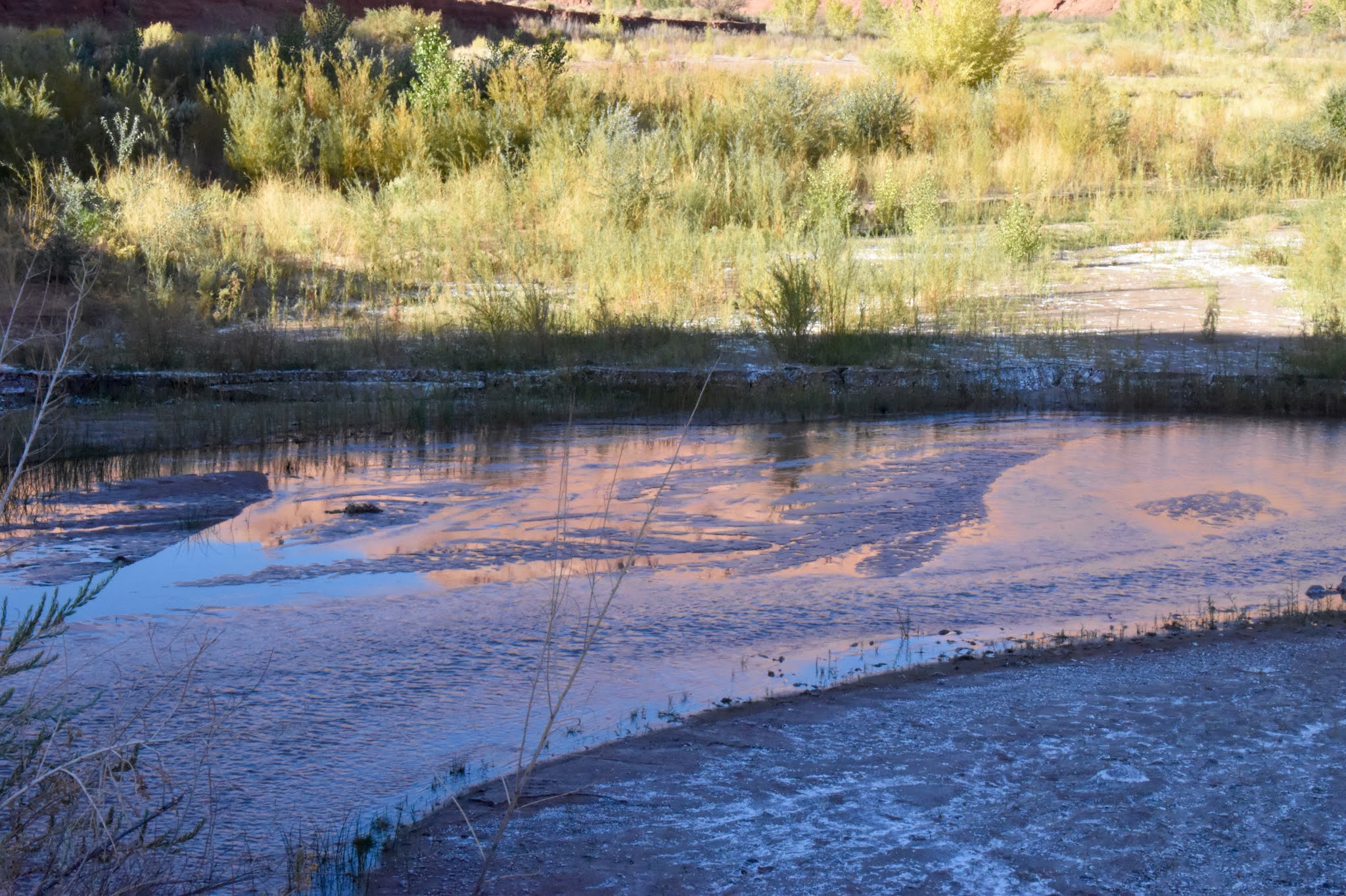
With their departure, we were free to go down to the Colorado for a bit of fishing (note I didn't say catching); however, increasing cloudiness and cool wind combined as deterrents, so we packed it in. Our misstep then was to go up top, away from the sheltering cliffs.

One last visit to a point of land overlooking the river as it flowed through Marble Canyon . . .


. . . How deceptively serene it appears in the photos, but I am here to tell you that being out there was something akin to being inside a kitchen blender full of sand. That's what they call "Hold on to your hat weather"!
We managed to get over to the canyon's edge only by duck-walking and holding on to each other. If we had stood upright, down we would have gone. For the few short minutes we could stand it, we were buffeted by extreme gritty gusts. Even trying for shelter in the car was nearly impossible. On the windward side, Chris couldn't even open the door without using both hands, and that was the end of holding on to his hat, which is probably now bobbing merrily along on its way to Lake Mead.

Lodging options in that region are sparse. We rented a room in the historic section of Cliff Dwellers Lodge, and were very pleased with it. In fact, after peering into the new section, we prefer it. It has that vintage built-with-care atmosphere, windows on both sides with a view of the cliffs right behind and a little sheltered private alcove with table & chairs. Wood floors instead of carpet and shower instead of tub plus more distance from the highway are the primary differences other than age.

Cliff Dwellers came into existence in the 1920s as a modest trading post established by Blanche & Bill Russell after they came into the area by ferry across the Colorado. The remains of their unique house is a local attraction: it was constructed of rock utilizing a gigantic boulder as part of the structure.