
Good folks, smoke, heat & getting lost
Turns out that rear tail light/turn indicator on the trailer was evidently repaired only temporarily, with the result that we’ve been running without a right turn blinker. Our efforts (ha ha, okay Chris’ efforts) to remedy it were for naught, and Austin was flat out of everything, so we hoped the move to Burns, Oregon, would offer help.
The drive from Austin to Burns was not the most scenic, not to put too fine a point on it. In fact, it was downright tedious traversing miles of desert scrub landscape along the longest straightest pieces of pavement on the planet, and lots of wildfire smoke along the way, adding to the dreariness of the drive.
Good folks . . .
Because we deem the lack of a turn Indicator to be a safety issue, we were anxious to deal with it. A call to a shop that offers mobile service was less than satisfactory: no one came and no one came. In the meantime, we took the truck to a non-mobile shop to see if the problem was with the truck rather than the trailer. Those folks checked it out and did not charge us for the service.
Because it was not the truck’s issue, we were back to waiting for a response from the mobile mechanic. Another phone call told us the reason for delay: all mechanics were out at the Silver Lake fire working on first responders’ trucks, a top priority, of course.
Next morning along comes David, unannounced but stopped on his way into the shop. He cheerfully crawled around under the truck and trailer for a spell until deciding he needed additional tools. He returned in short order, still cheerful and worked for a goodly spell. In the end, he deemed it a problem in a sealed system that would be covered by warranty with a designated dealer. He did manage, however, to get us a turn signal and brake lights, only thing missing is a tail light, not a big deal since we don’t run at night.
Our safety issue was solved, and for all his two visits and much work, his charge was to wish us a good day!
Our third kindness received was when we needed a notary and were not charged for that service either. We are so grateful for these fine folks in Burns!
Silvies Valley . . .
Our RV park is bordered by the Silvies River, a wandering stream thickly lined by a variety of tall shrubs and trees, allowing only occasional glimpses of the water. We have been following the Silvies’ various meanders in different directions.
One of those jaunts took us out through the valley formed by that river, where we stopped at an interesting historic site maintained by the Silvies Valley Ranch. That outfit is a consolidation of multiple ranches that were historically individually owned throughout that extensive area.
The site consisted of a park around a schoolhouse and barn from the 1890s, embellished with lots of historical information. Even more fascinating was information about what the current ranch owners - two families - are endeavoring to do to rehabilitate the miles of land that have been degraded over time by damaging practices, beginning with fur trappers in 1826 who took an estimated 200,000 beavers from the river. One of that Hudson's Bay crew was the namesake for the place: Captain Antonine Sylvaille.


Going up the mountain, getting lost . . .
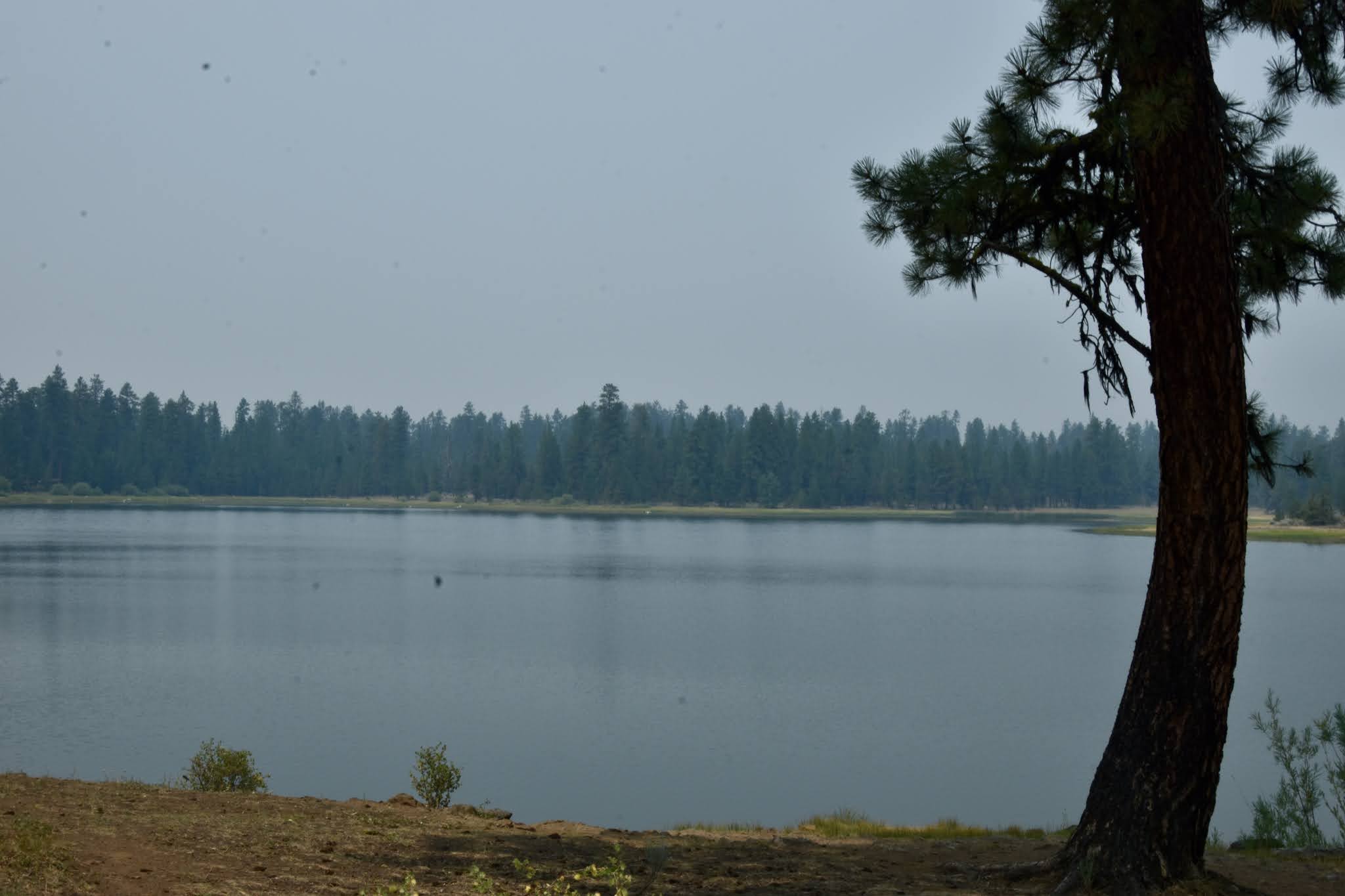
It was plenty hot in Burns, and smoky; the obvious solution, we determined, was to go up the mountain which in our experience should cool things down and also get us above the smoke. Too bad we were wrong on both counts.
Along the way, we admired the red-barked ponderosas that were as tall as any we've seen. We were surprised at finding no one else along the way. Why don't they rush to the high country to cool off? The dearth of traffic made our lunch spot even nicer.


The surprise was that the smoke became thicker the farther we climbed. It began to feel as if we would encounter a wall of flames around each bend of the road.

We were on a loop road that would return us to our beginning point without backtracking, so said the Señor. We followed Emigrant Creek as we wound through the forest . . .

. . . and spotted a small beaver dam along the way.

We identified no waterfowl at Delintment, but we had added to the trip's bird list prior to getting there, including rock wren, kildeer, northern flicker, American crow, gadwall, black-billed magpie, purple marten, Say's phoebe, California quail and barn swallow.

Yellowjacket Lake was prettier and very birdy, although smoke was still dogging us. There we added ruddy duck, ring-necked duck, mallard and common gallinule, a surprise because it was out of its range by quite a bit.
And that is when we got lost . . . not the scary kind of lost that causes fear of finding your way out. Well, actually it was kind of like that. There was a sign indicating a direction toward Burns - fine and dandy - that's the way we went. The problem was that at multiple intersecting roads after that, Burns was never mentioned again, leaving us to guess which might be correct.
We had no map of the area, so we resorted to trying GPS. That was fairly unhelpful: it immediately directed us to turn onto a barely visible two-track that wandered off into the trees. We declined that directive decisively and commenced to guessing again. The "game" digressed into slightly heated discussions about which and why.
The driver (not me) said he "thought" such & such a road would take us to such & such a highway which would then get us to Burns via such & such route. As he turned onto his chosen such & such road, the GPS gave up its distinctly dastardly attempt to waylay us and jumped on the bandwagon, as if saying it knew that was correct all along. I wonder what it would have done if we had taken the two-track? Probably laughed at our folly.
In the end, we found our way and lived to tell the tale.
Down in lower country, we spotted an abandoned homestead at the mouth of a canyon where it opened up into a flat. Despite heat and smoke, we couldn't resist walking down to check it out.

It had been a substantial ranch headquarters with a large well-built two-story house . . .


. . . and a log barn, but that's where we commenced to scratching our heads in wonder. The barn was smack-dab in the middle of a spring, one that gave every indication of being permanent! Presuming I will never have an answer to why that barn is sitting in the middle of an algae-covered swamp.


Those settlers had a nice large root cellar; even the shelves were still visible beneath the partially caved-inn log/dirt roof.

Back when we were searching our way down off the mountain, we drove on a rough road,
then on a rougher road,
and finally on the . . .

3 comments:
We lived on the Island Ranch 15 miles from Burns. The cowboys had to work cattle out of the sloughs and creeks. Their horses were used to it.
I saw your title and thought to myself "Lost? Rita and Chris don't ever get lost, they just find what's to be found on the road less travelled." Sounds like you did that. Hope you escape the smoke soon.
I jist realized my comments say unknown. I can't figire out how to make identify me but I'm Linda Hutchinson and I love your travel tales!
Post a Comment